


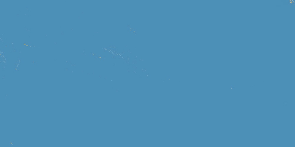
Cook Islands is located in Oceania, in GMT-10 time zone (with current time of 05:51 PM, Sunday). Offset from your time zone: hours. It is positioned on 240 km² area with population of approximately 21.4 thousand.
Capital of Cook Islands is Avarua.
| ↕ | Latitude (dec.) | Latitude (DMS) |
|---|---|---|
| North border | -8.1679932 | 8° 10' 4.776" South |
| South border | -23.0898384 | 23° 5' 23.418" South |
| Height ↕ | ∼1659.2 km | |
| ↔ | West border | East border |
|---|---|---|
| Longitude (dec.) | -166.1791992 | -155.6982422 |
| Longitude (DMS) | 166° 10' 45.117" West | 155° 41' 53.672" West |
| Width ↔ | ∼1086 km | |


Sources:
• Base of the used natural world map was created by Tom Patterson, cartographer.
• Boundary lines of Cook Islands were drawn using data from boundaries.us.
• Geographic location: processed from www.geonames.org database.