


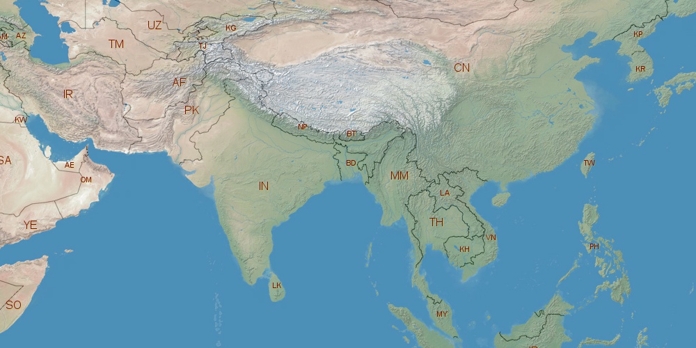
India is located in Asia, in GMT+5:30 time zone (with current time of 09:26 AM, Saturday). Offset from your time zone: hours. It is positioned on 3287590 km² area with population of approximately 1173.1 million. Neighbor countries: China, Nepal, Myanmar, Bhutan, Pakistan, Bangladesh.
Capital of India is New Delhi.
| ↕ | Latitude (dec.) | Latitude (DMS) |
|---|---|---|
| North border | 35.5087008 | 35° 30' 31.323" North |
| South border | 6.4626999 | 6° 27' 45.72" North |
| Height ↕ | ∼3229.6 km | |
| ↔ | West border | East border |
|---|---|---|
| Longitude (dec.) | 68.1097000 | 97.3953587 |
| Longitude (DMS) | 68° 6' 34.92" East | 97° 23' 43.291" East |
| Width ↔ | ∼3044 km | |


Sources:
• Base of the used natural world map was created by Tom Patterson, cartographer.
• Boundary lines of India were drawn using data from boundaries.us.
• Geographic location: processed from www.geonames.org database.