


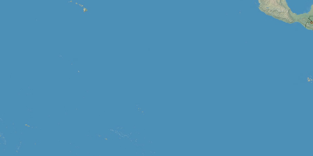
Kiribati is located in Oceania, in time zones from GMT+12 (03:53 PM, Monday) to GMT+14 (05:53 PM, Monday). It is positioned on 811 km² area with population of approximately 92.5 thousand.
Capital of Kiribati is Tarawa.
| ↕ | Latitude (dec.) | Latitude (DMS) |
|---|---|---|
| North border | 5.4082108 | 5° 24' 29.559" North |
| South border | -14.0939572 | 14° 5' 38.246" South |
| Height ↕ | ∼2168.4 km | |
| ↔ | West border | East border |
|---|---|---|
| Longitude (dec.) | 168.8818359 | -144.2285156 |
| Longitude (DMS) | 168° 52' 54.609" East | 144° 13' 42.656" West |
| Width ↔ | ∼5210.7 km | |


Sources:
• Base of the used natural world map was created by Tom Patterson, cartographer.
• Boundary lines of Kiribati were drawn using data from boundaries.us.
• Geographic location: processed from www.geonames.org database.