


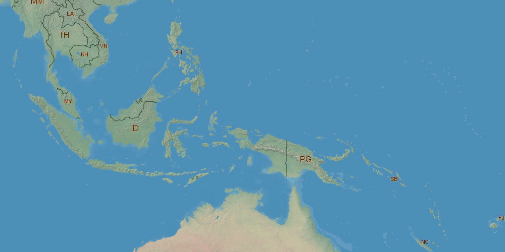
Solomon Islands is located in Oceania, in GMT+11 time zone (with current time of 02:51 PM, Monday). Offset from your time zone: hours. It is positioned on 28450 km² area with population of approximately 559.2 thousand.
Capital of Solomon Islands is Honiara.
| ↕ | Latitude (dec.) | Latitude (DMS) |
|---|---|---|
| North border | -6.0750110 | 6° 4' 30.04" South |
| South border | -12.6832149 | 12° 40' 59.574" South |
| Height ↕ | ∼734.8 km | |
| ↔ | West border | East border |
|---|---|---|
| Longitude (dec.) | 155.1187134 | 168.0249023 |
| Longitude (DMS) | 155° 7' 7.368" East | 168° 1' 29.648" East |
| Width ↔ | ∼1414.7 km | |


Sources:
• Base of the used natural world map was created by Tom Patterson, cartographer.
• Boundary lines of Solomon Islands were drawn using data from boundaries.us.
• Geographic location: processed from www.geonames.org database.