


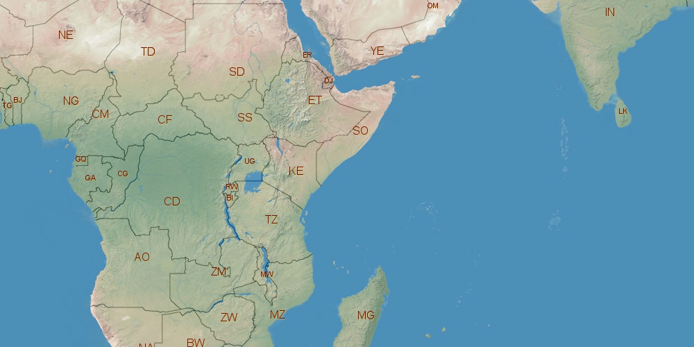
Somalia is located in Africa, in GMT+3 time zone (with current time of 07:43 AM, Friday). Offset from your time zone: hours. It is positioned on 637657 km² area with population of approximately 10.1 million. Neighbor countries: Ethiopia, Kenya, Djibouti.
Capital of Somalia is Mogadishu.
| ↕ | Latitude (dec.) | Latitude (DMS) |
|---|---|---|
| North border | 12.3615000 | 12° 21' 41.4" North |
| South border | -1.8673000 | 1° 52' 2.28" South |
| Height ↕ | ∼1582.1 km | |
| ↔ | West border | East border |
|---|---|---|
| Longitude (dec.) | 40.9943730 | 51.6138000 |
| Longitude (DMS) | 40° 59' 39.743" East | 51° 36' 49.68" East |
| Width ↔ | ∼1176 km | |


Sources:
• Base of the used natural world map was created by Tom Patterson, cartographer.
• Boundary lines of Somalia were drawn using data from boundaries.us.
• Geographic location: processed from www.geonames.org database.