


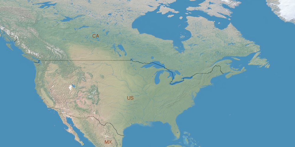
United States is located in North America, in time zones from GMT-10 (02:15 PM, Wednesday) to GMT-4 (08:15 PM, Wednesday). It is positioned on 9629091 km² area with population of approximately 310.2 million. Neighbor countries: Canada, Mexico, Cuba.
Capital of United States is Washington, D.C..
| ↕ | Latitude (dec.) | Latitude (DMS) |
|---|---|---|
| North border | 71.5388001 | 71° 32' 19.68" North |
| South border | 18.7763000 | 18° 46' 34.68" North |
| Height ↕ | ∼5866.6 km | |
| ↔ | West border | East border |
|---|---|---|
| Longitude (dec.) | 170.5957000 | -66.8854170 |
| Longitude (DMS) | 170° 35' 44.52" East | 66° 53' 7.501" West |
| Width ↔ | ∼9869.2 km | |


Sources:
• Base of the used natural world map was created by Tom Patterson, cartographer.
• Boundary lines of United States were drawn using data from boundaries.us.
• Geographic location: processed from www.geonames.org database.