


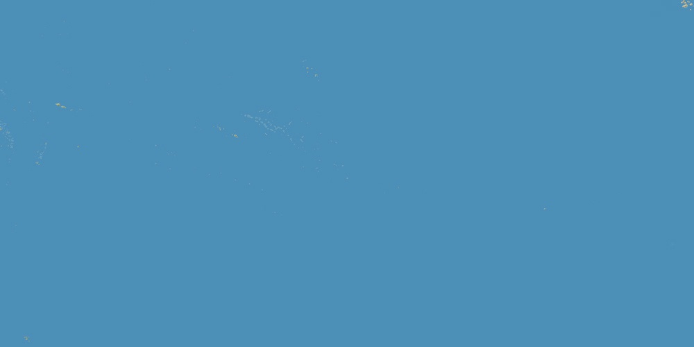
Wallis and Futuna is located in Oceania, in GMT+12 time zone (with current time of 03:50 PM, Monday). Offset from your time zone: hours. It is positioned on 274 km² area with population of approximately 16 thousand.
Capital of Wallis and Futuna is Mata-Utu.
| ↕ | Latitude (dec.) | Latitude (DMS) |
|---|---|---|
| North border | -13.1303042 | 13° 7' 49.095" South |
| South border | -14.4187203 | 14° 25' 7.393" South |
| Height ↕ | ∼143.3 km | |
| ↔ | West border | East border |
|---|---|---|
| Longitude (dec.) | -178.2284546 | -176.0971068 |
| Longitude (DMS) | 178° 13' 42.437" West | 176° 5' 49.584" West |
| Width ↔ | ∼229.6 km | |


Sources:
• Base of the used natural world map was created by Tom Patterson, cartographer.
• Boundary lines of Wallis and Futuna were drawn using data from boundaries.us.
• Geographic location: processed from www.geonames.org database.