


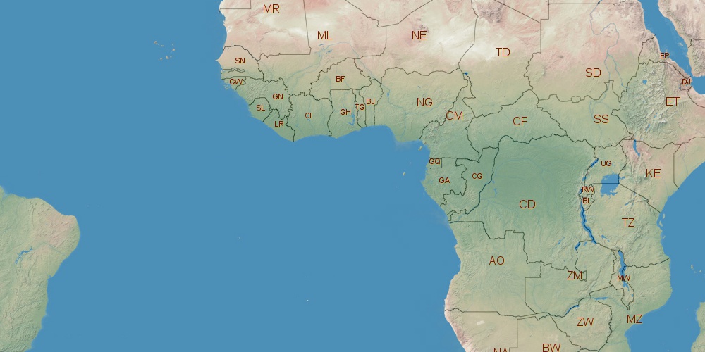
Republic of the Congo is located in Africa, in GMT+1 time zone (with current time of 12:12 AM, Friday). Offset from your time zone: hours. It is positioned on 342000 km² area with population of approximately 3 million. Neighbor countries: Central African Republic, Gabon, Democratic Republic of the Congo, Cameroon, Angola.
Capital of Republic of the Congo is Brazzaville.
| ↕ | Latitude (dec.) | Latitude (DMS) |
|---|---|---|
| North border | 3.7077910 | 3° 42' 28.048" North |
| South border | -5.0964000 | 5° 5' 47.04" South |
| Height ↕ | ∼978.9 km | |
| ↔ | West border | East border |
|---|---|---|
| Longitude (dec.) | 11.1182001 | 18.6436110 |
| Longitude (DMS) | 11° 7' 5.52" East | 18° 38' 37" East |
| Width ↔ | ∼836.7 km | |


Sources:
• Base of the used natural world map was created by Tom Patterson, cartographer.
• Boundary lines of Republic of the Congo were drawn using data from boundaries.us.
• Geographic location: processed from www.geonames.org database.