


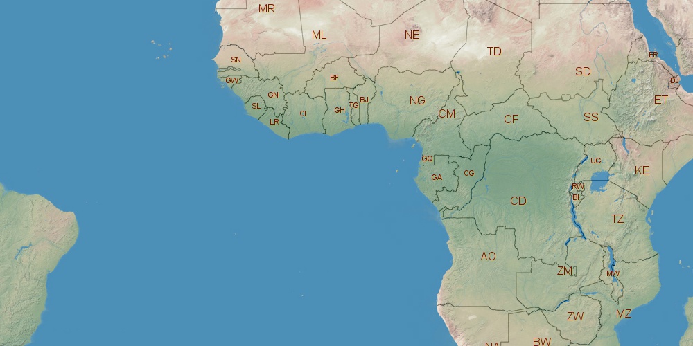
Ivory Coast is located in Africa, in GMT0 time zone (with current time of 08:04 PM, Sunday). Offset from your time zone: hours. It is positioned on 322460 km² area with population of approximately 21.1 million. Neighbor countries: Liberia, Ghana, Guinea, Burkina Faso, Mali.
Capital of Ivory Coast is Yamoussoukro.
| ↕ | Latitude (dec.) | Latitude (DMS) |
|---|---|---|
| North border | 10.7400151 | 10° 44' 24.054" North |
| South border | 4.1930000 | 4° 11' 34.8" North |
| Height ↕ | ∼728 km | |
| ↔ | West border | East border |
|---|---|---|
| Longitude (dec.) | -8.6020589 | -2.4930310 |
| Longitude (DMS) | 8° 36' 7.412" West | 2° 29' 34.912" West |
| Width ↔ | ∼673.4 km | |


Sources:
• Base of the used natural world map was created by Tom Patterson, cartographer.
• Boundary lines of Ivory Coast were drawn using data from boundaries.us.
• Geographic location: processed from www.geonames.org database.