


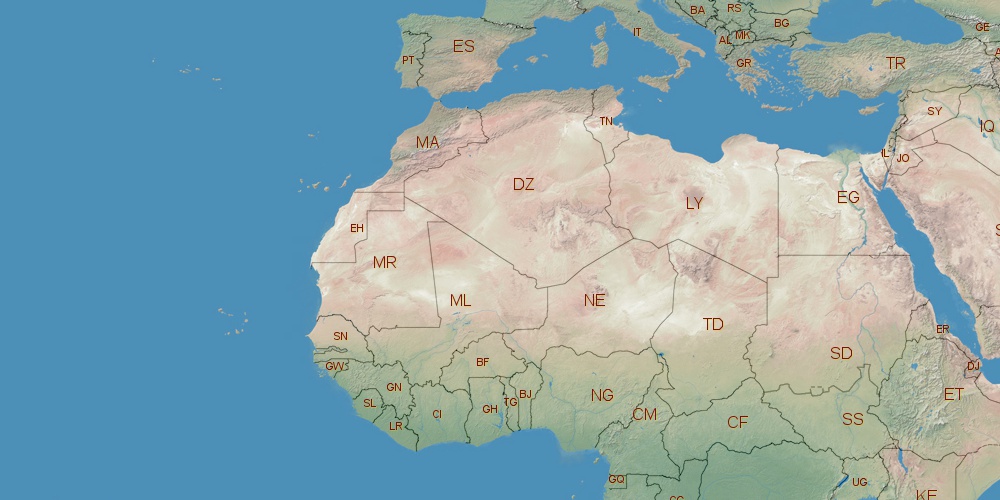
Mali is located in Africa, in GMT0 time zone (with current time of 06:32 AM, Friday). Offset from your time zone: hours. It is positioned on 1240000 km² area with population of approximately 13.8 million. Neighbor countries: Senegal, Niger, Algeria, Ivory Coast, Guinea, Mauritania, Burkina Faso.
Capital of Mali is Bamako.
| ↕ | Latitude (dec.) | Latitude (DMS) |
|---|---|---|
| North border | 25.0010840 | 25° 0' 3.902" North |
| South border | 10.1478110 | 10° 8' 52.12" North |
| Height ↕ | ∼1651.5 km | |
| ↔ | West border | East border |
|---|---|---|
| Longitude (dec.) | -12.2388849 | 4.2673828 |
| Longitude (DMS) | 12° 14' 19.986" West | 4° 16' 2.578" East |
| Width ↔ | ∼1749.1 km | |


Sources:
• Base of the used natural world map was created by Tom Patterson, cartographer.
• Boundary lines of Mali were drawn using data from boundaries.us.
• Geographic location: processed from www.geonames.org database.