


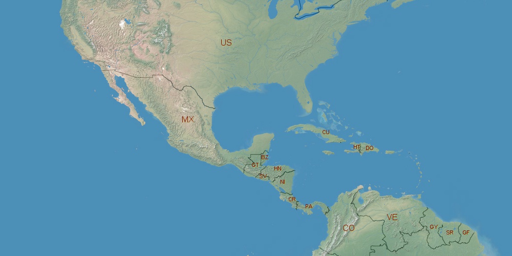
Honduras is located in North America, in GMT-6 time zone (with current time of 11:43 PM, Thursday). Offset from your time zone: hours. It is positioned on 112090 km² area with population of approximately 8 million. Neighbor countries: Guatemala, Nicaragua, El Salvador.
Capital of Honduras is Tegucigalpa.
| ↕ | Latitude (dec.) | Latitude (DMS) |
|---|---|---|
| North border | 17.4677999 | 17° 28' 4.08" North |
| South border | 12.9842246 | 12° 59' 3.209" North |
| Height ↕ | ∼498.5 km | |
| ↔ | West border | East border |
|---|---|---|
| Longitude (dec.) | -89.3564822 | -83.0621001 |
| Longitude (DMS) | 89° 21' 23.336" West | 83° 3' 43.56" West |
| Width ↔ | ∼675.4 km | |


Sources:
• Base of the used natural world map was created by Tom Patterson, cartographer.
• Boundary lines of Honduras were drawn using data from boundaries.us.
• Geographic location: processed from www.geonames.org database.