


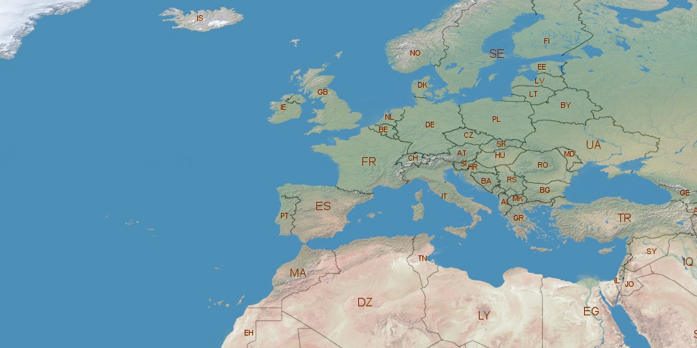
Croatia is located in Europe, in GMT+2 time zone (with current time of 08:40 AM, Thursday). Offset from your time zone: hours. It is positioned on 56542 km² area with population of approximately 4.3 million. Neighbor countries: Hungary, Slovenia, Bosnia and Herzegovina, Montenegro, Serbia.
Capital of Croatia is Zagreb.
| ↕ | Latitude (dec.) | Latitude (DMS) |
|---|---|---|
| North border | 46.5549857 | 46° 33' 17.949" North |
| South border | 42.3385087 | 42° 20' 18.631" North |
| Height ↕ | ∼468.8 km | |
| ↔ | West border | East border |
|---|---|---|
| Longitude (dec.) | 13.3649000 | 19.4480523 |
| Longitude (DMS) | 13° 21' 53.64" East | 19° 26' 52.988" East |
| Width ↔ | ∼477.3 km | |


Sources:
• Base of the used natural world map was created by Tom Patterson, cartographer.
• Boundary lines of Croatia were drawn using data from boundaries.us.
• Geographic location: processed from www.geonames.org database.