


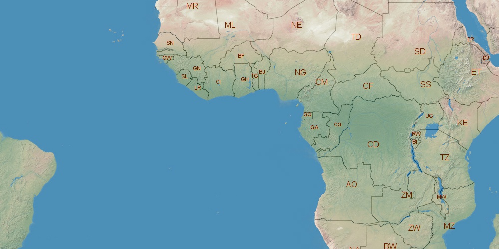
Angola is located in Africa, in GMT+1 time zone (with current time of 07:34 AM, Friday). Offset from your time zone: hours. It is positioned on 1246700 km² area with population of approximately 13.1 million. Neighbor countries: Democratic Republic of the Congo, Namibia, Zambia, Republic of the Congo.
Capital of Angola is Luanda.
| ↕ | Latitude (dec.) | Latitude (DMS) |
|---|---|---|
| North border | -4.3879439 | 4° 23' 16.598" South |
| South border | -18.0391039 | 18° 2' 20.774" South |
| Height ↕ | ∼1517.9 km | |
| ↔ | West border | East border |
|---|---|---|
| Longitude (dec.) | 11.4696999 | 24.0878855 |
| Longitude (DMS) | 11° 28' 10.92" East | 24° 5' 16.388" East |
| Width ↔ | ∼1376.2 km | |


Sources:
• Base of the used natural world map was created by Tom Patterson, cartographer.
• Boundary lines of Angola were drawn using data from boundaries.us.
• Geographic location: processed from www.geonames.org database.