


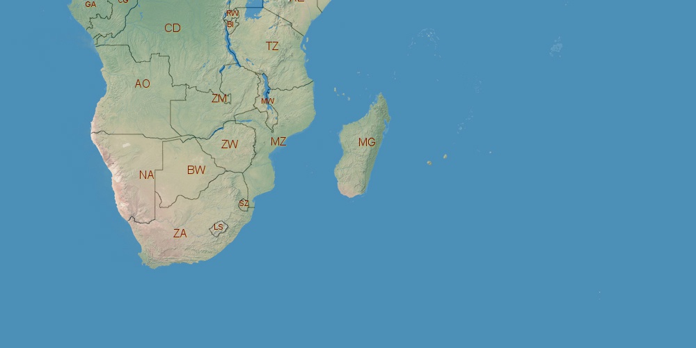
Zambia is located in Africa, in GMT+2 time zone (with current time of 09:00 AM, Friday). Offset from your time zone: hours. It is positioned on 752614 km² area with population of approximately 13.5 million. Neighbor countries: Zimbabwe, Tanzania, Mozambique, Democratic Republic of the Congo, Namibia, Malawi, Angola.
Capital of Zambia is Lusaka.
| ↕ | Latitude (dec.) | Latitude (DMS) |
|---|---|---|
| North border | -8.2032840 | 8° 12' 11.822" South |
| South border | -18.0774180 | 18° 4' 38.705" South |
| Height ↕ | ∼1097.9 km | |
| ↔ | West border | East border |
|---|---|---|
| Longitude (dec.) | 21.9993510 | 33.7090305 |
| Longitude (DMS) | 21° 59' 57.664" East | 33° 42' 32.51" East |
| Width ↔ | ∼1267.8 km | |


Sources:
• Base of the used natural world map was created by Tom Patterson, cartographer.
• Boundary lines of Zambia were drawn using data from boundaries.us.
• Geographic location: processed from www.geonames.org database.