


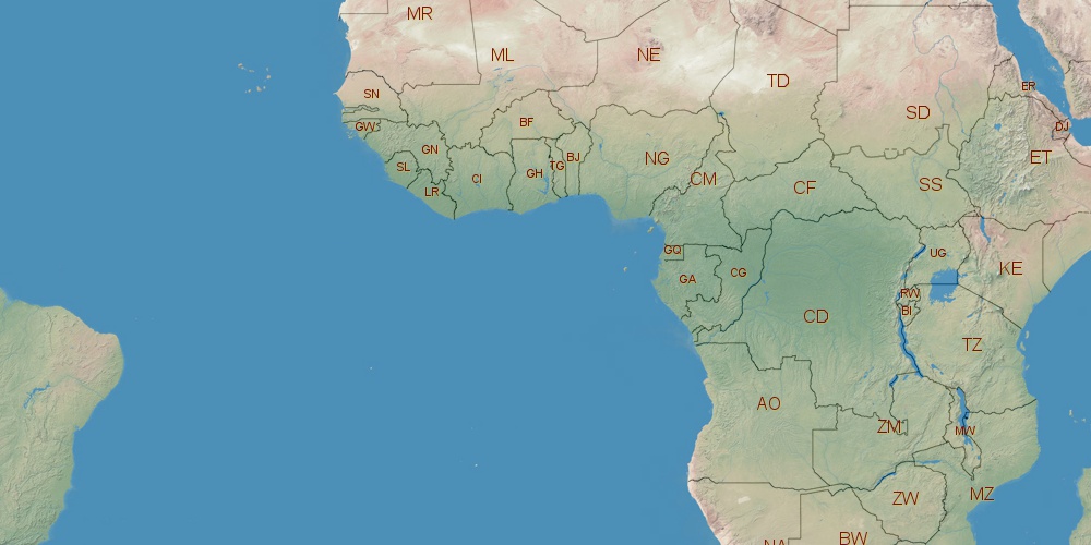
Democratic Republic of the Congo is located in Africa, in time zones from GMT+1 (05:50 AM, Saturday) to GMT+2 (06:50 AM, Saturday). It is positioned on 2345410 km² area with population of approximately 70.9 million. Neighbor countries: Tanzania, Central African Republic, South Sudan, Rwanda, Zambia, Burundi, Uganda, Republic of the Congo, Angola.
Capital of Democratic Republic of the Congo is Kinshasa.
| ↕ | Latitude (dec.) | Latitude (DMS) |
|---|---|---|
| North border | 5.3920029 | 5° 23' 31.21" North |
| South border | -13.4590349 | 13° 27' 32.526" South |
| Height ↕ | ∼2096 km | |
| ↔ | West border | East border |
|---|---|---|
| Longitude (dec.) | 12.1454000 | 31.3146120 |
| Longitude (DMS) | 12° 8' 43.44" East | 31° 18' 52.603" East |
| Width ↔ | ∼2126.1 km | |


Sources:
• Base of the used natural world map was created by Tom Patterson, cartographer.
• Boundary lines of Democratic Republic of the Congo were drawn using data from boundaries.us.
• Geographic location: processed from www.geonames.org database.