


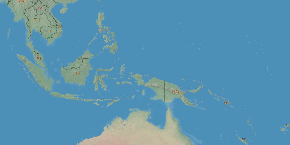
Indonesia is located in Asia, in time zones from GMT+7 (07:58 PM, Monday) to GMT+9 (09:58 PM, Monday). It is positioned on 1919440 km² area with population of approximately 243 million. Neighbor countries: Papua New Guinea, East Timor, Malaysia.
Capital of Indonesia is Jakarta.
| ↕ | Latitude (dec.) | Latitude (DMS) |
|---|---|---|
| North border | 6.2169999 | 6° 13' 1.2" North |
| South border | -11.1082999 | 11° 6' 29.88" South |
| Height ↕ | ∼1926.4 km | |
| ↔ | West border | East border |
|---|---|---|
| Longitude (dec.) | 94.7351000 | 141.0425000 |
| Longitude (DMS) | 94° 44' 6.36" East | 141° 2' 33" East |
| Width ↔ | ∼5148.4 km | |


Sources:
• Base of the used natural world map was created by Tom Patterson, cartographer.
• Boundary lines of Indonesia were drawn using data from boundaries.us.
• Geographic location: processed from www.geonames.org database.