


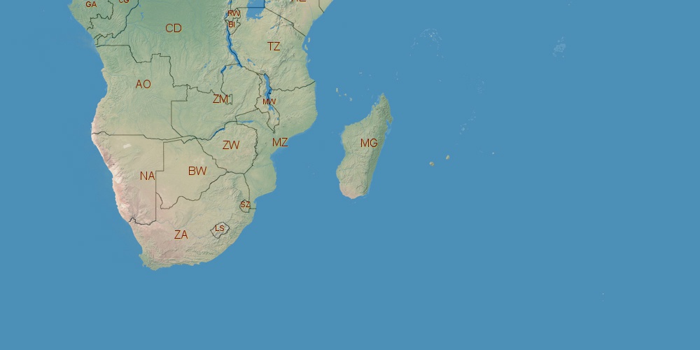
Malawi is located in Africa, in GMT+2 time zone (with current time of 08:59 AM, Friday). Offset from your time zone: hours. It is positioned on 118480 km² area with population of approximately 15.4 million. Neighbor countries: Tanzania, Mozambique, Zambia.
Capital of Malawi is Lilongwe.
| ↕ | Latitude (dec.) | Latitude (DMS) |
|---|---|---|
| North border | -9.3672274 | 9° 22' 2.019" South |
| South border | -17.1295216 | 17° 7' 46.278" South |
| Height ↕ | ∼863.1 km | |
| ↔ | West border | East border |
|---|---|---|
| Longitude (dec.) | 32.6725205 | 35.9185730 |
| Longitude (DMS) | 32° 40' 21.074" East | 35° 55' 6.863" East |
| Width ↔ | ∼351.3 km | |


Sources:
• Base of the used natural world map was created by Tom Patterson, cartographer.
• Boundary lines of Malawi were drawn using data from boundaries.us.
• Geographic location: processed from www.geonames.org database.