


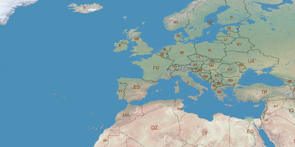
Poland is located in Europe, in GMT+2 time zone (with current time of 06:43 AM, Friday). Offset from your time zone: hours. It is positioned on 312685 km² area with population of approximately 38.5 million. Neighbor countries: Germany, Lithuania, Slovakia, Czechia, Belarus, Ukraine, Russia.
Capital of Poland is Warsaw.
| ↕ | Latitude (dec.) | Latitude (DMS) |
|---|---|---|
| North border | 54.9054761 | 54° 54' 19.714" North |
| South border | 49.0020252 | 49° 0' 7.291" North |
| Height ↕ | ∼656.4 km | |
| ↔ | West border | East border |
|---|---|---|
| Longitude (dec.) | 14.1228641 | 24.1458931 |
| Longitude (DMS) | 14° 7' 22.311" East | 24° 8' 45.215" East |
| Width ↔ | ∼686.8 km | |


Sources:
• Base of the used natural world map was created by Tom Patterson, cartographer.
• Boundary lines of Poland were drawn using data from boundaries.us.
• Geographic location: processed from www.geonames.org database.